
This short walk near Braunton is incredibly easy to follow, easy on the legs, and easy on the eyes! If you’ve got around two and a half hours spare and would like a breath of fresh air, this is the walk for you.
Why it’s on my list
My birthday is in January and I was looking for a nice walk that would occupy an afternoon. I was looking for somewhere that would offer pretty views whilst not being so rural or such a long walk that we would risk being out in the dark. My trusty walking book had this option in the shorter walks section, and as I haven’t explored the Braunton area very much, I thought we would give this a try.
Walk Information
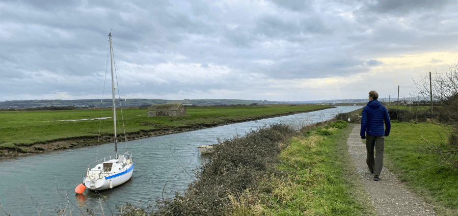
Location: Start at Velator Quay, which is on the outskirts of Braunton. You can see a bit of North Devon’s shipping history here – the River Caen was deepened and the quay built in 1853 to enable bigger ships to dock in Braunton.
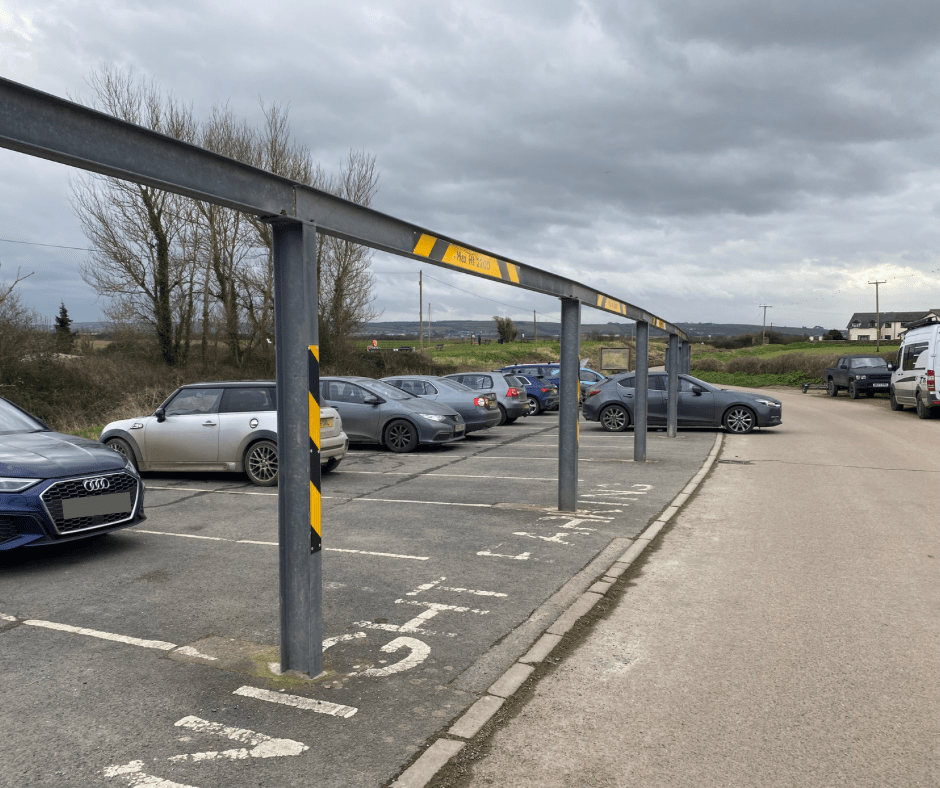
Parking: free car park at Velator Quay.
Length of walk: Just over 6 miles – it took us 2 hours and 15 minutes.
Type of walk: Circular walk including a path by the estuary, a bit of sandy beach at Crow Point, dirt tracks, road and farm fields. It’s an easy, flat walk.
Dog friendly? Yes, but there are parts of road where you will need to have dogs on leads.
Overall verdict
I really enjoyed this walk – it was the perfect afternoon stroll. The views were beautiful along the estuary and at Crow Point, and the flatness of it meant that I didn’t need to peel my eyes away from the view to look where I was going. It was also very easy to drive to, especially compared to some of the walks we have done on Exmoor. For a short-ish afternoon walk in North Devon, I would highly recommend this walk.
The route
The route we followed is taken from Pathfinder Guides’ North and Mid Devon Walks.
The walk starts at Velator Quay where you can see a number of boats moored up and a few benches too – a lovely spot to pause for a moment. There are embankments along the River Caen, which make a perfect raised footpath for this walk.


It couldn’t be easier – you just follow this path all the way to Crow Point. The road to Crow Point is a toll road so at some point you’ll see a barrier, which you obviously don’t need to use or pay for! There are a couple of stone stiles along the way.
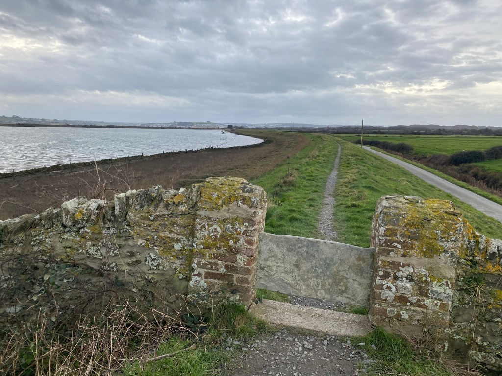
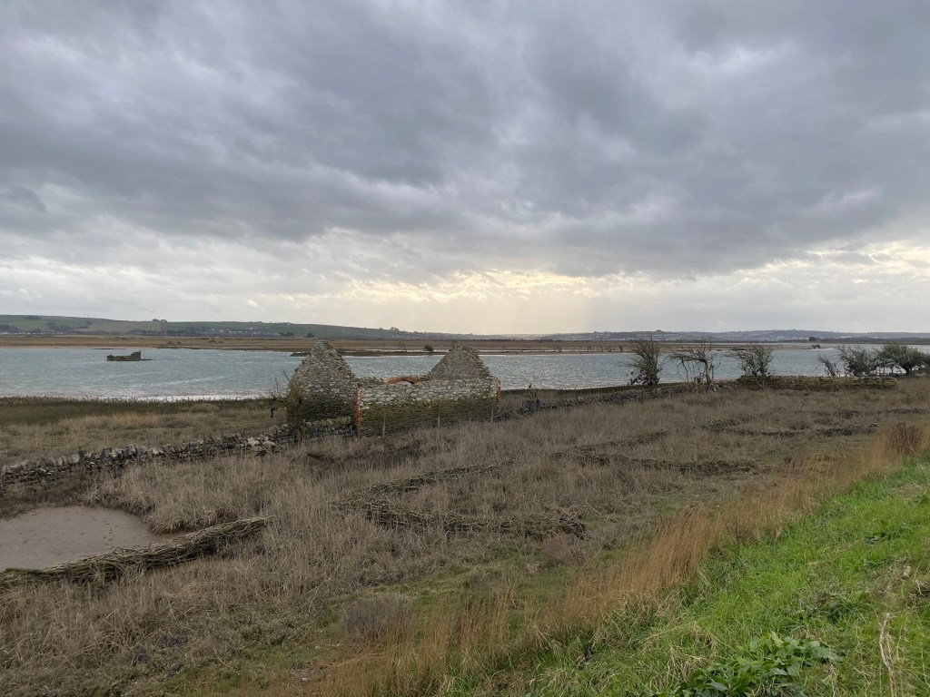
One thing to note is that we needed to change the walk slightly from the route in the guide book. Instead of following the South West Coast Path out into Braunton Marsh/Horsey Island (reclaimed marshland), we carried along the elevated footpath all the way to Crow Point. This is because this section of the South West Coast Path is closed due to erosion by the sea, making it unsafe. The good news is that this does nothing to spoil the walk, and the views are still lovely.
It’s clear when you get to Crow Point and you can take a little detour off the footpath on to the sandy beach. The estuary is a bit of a playground and we saw families enjoying a picnic, couples walking, and a few people kitesurfing. Bearing in mind it was winter when we did this walk, we thought they were very brave!

The walk turns inland via the car park at Crow Point and you come out to a wide track leading into and around Braunton Burrows. It is a very clear and level path to follow, with no chance of getting lost (which has happened to us a few times in Braunton Burrows!). This part of the walk is a little less visually interesting, but it’s very enjoyable nonetheless to be surrounded by the peace and beauty of nature. Braunton Burrows itself is part of the North Devon Biosphere and is ecologically important due to the plants that grow there.

The track eventually turns into a road, passing by Sandy Lane Car Park (£2.50 to park your car here). We followed the road until we came to a right turn, which took us along a very straight road.
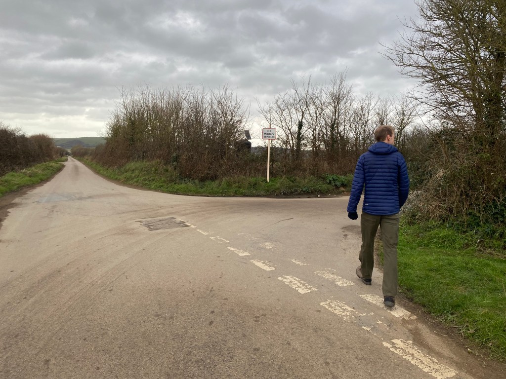
We followed the road along a few twists and turns, and we got to the point where the guide book directs you to leave the road and take a public footpath through some fields. This includes Braunton Great Field, which is an example of an open strip field system used in medieval times. The field is still using this system, which is apparently very rare.
We chose not to take the field route as the ground was very muddy due to recent rains, and luckily it was just a case of following the road all the way back to the car park at Velator Quay. It could not have been more straightforward.
The best
Everything about this walk was easy. The route was clear, it was all flat, it was easy to get to Velator Quay, and the parking was free and very straightforward. This was a reminder for me that great walks don’t always need to be epic coastal paths or mountain scrambles.
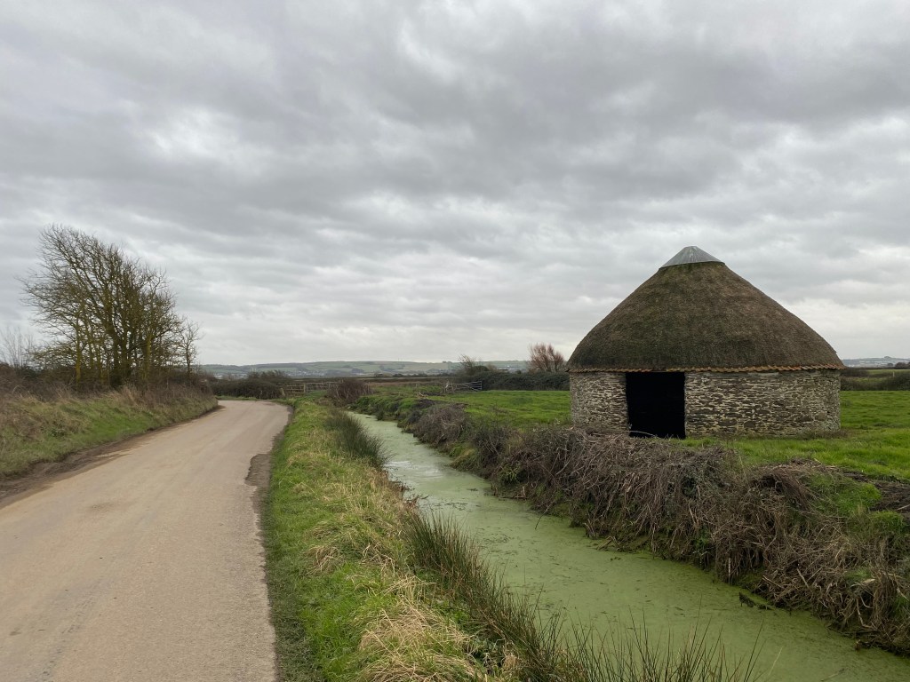
Although we didn’t follow the route exactly as laid out in the book, I’m glad we did take the road back at the end. Whilst there were a few cars every now and then, overall it was quiet, and we got to see swans and some old farm buildings that looked like relics from the past.

Not the best
Am I a bit sad that the South West Coast Path was closed off? Yes, a little bit, because the area was renowned as a wildlife habitat and we would definitely have seen much more of that if we had been able to take the path. But that didn’t detract from what really was a lovely afternoon. You can still catch glimpses of some of the wildlife – we wish we brought binoculars to identify all the different birds we saw darting around the marsh’s edge.
Top tip
If you’ve got a bit more time on your hands, take the opportunity to walk around Crow Point. It’s a stunning place and where the Taw and Torridge estuaries meet and open out to the sea, you feel like you’re at the end of the earth. Take a look at my Crow Point walk blog here to get a sense of just how beautiful it is.
