
This wonderful circular walk offers great coastal views and two of North Devon’s finest beaches and villages. My new favourite!
Why it’s on my list
Personally, I’m always getting confused between Crowe Point and Baggy Point, as I haven’t been to either very much I can’t visualise them. They’re just words to me! So I decided it’s time I got to know at least one of them a bit better. The two lovely surf heavens of Woolacombe and Croyde happen to be either side of Baggy Point, so we combined all three into one circular walk.
Walk Information
Location: Start in Woolacombe or Croyde, or even Putsborough, which is between the two; as it’s a circular walk it doesn’t matter. Deciding where you want to have lunch may help; burger and chips at The Red Barn in Woolacombe, sausage roll in Croyde, or a panini at Putsborough? Or a picnic at a beautiful vantage point on the path between them all?
Woolacombe and Putsborough are about 30 minutes’ drive from Barnstaple, Croyde is just over 20 minutes away.
Parking: In Woolacombe there’s parking on the side of the main road towards Mortehoe, or you can park all day in the Woolacombe Bay Hotel car park for around £5. In Croyde there’s a National Trust car park towards Baggy Point that’s also about £5. You can park all day in Putsborough for about £5. The price does go up during peak times.
Length of walk: Allow about 4 hours.
Type of walk: Circular with clear paths and long stretches of sandy beach.
Overall verdict
This was a delightful walk, despite the strong winds! Woolacombe is always beautiful, and Croyde is a lovely village too. Turned out I had been to Baggy Point a few times many years ago, so it was a place full of memories for me. But even if that’s not the case and you’re visiting for the first time, it really is beautiful and another fine example of North Devon’s superb coastline.
The route
Starting from Woolacombe, head along the road that runs parallel to the beach. Keep along this road until you get to the car park that’s about halfway along the beach. Follow the footpaths to Putsborough.
Take the coastal footpath that leads onwards from Putsborough towards Baggy Point. There are some wonderful views and the cliffs are quite steep around here, so may not be great for those who hate heights.

Keep along the marked path. As you head left around a corner you will see this pole, which you can climb if you like! From here onwards you will see some little wooden things at regular points, these have interesting little facts in.

Keep on this path, which will take you right along Baggy Point and into Croyde.

Walking past the holiday park, when you come to a T junction you can turn left to walk into Croyde village.
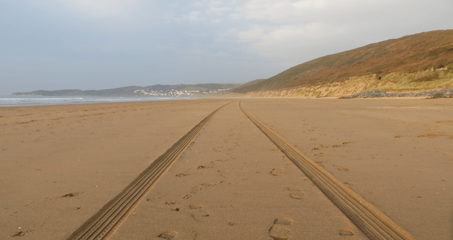
At this point you can go back the way you came to Putsborough and from there walk down to the beach and back to Woolacombe. We were short on time so we took the road from Croyde to Putsborough, which basically cuts off Baggy Point. It’s not a pretty route; it’s a purely functional, convenient and time-saving route. You will still come out at Putsborough. Then it’s just a very pleasant 40ish-minute walk along the beach back to Woolacombe.
The best
The sunset on our way back to Woolacombe was absolutely beautiful. It takes about 40 minutes to walk the length of the beach, so we got to enjoy the sun start to set and gradually see it sink below the horizon, with bright orange colours in the sky.


Not the best
We ended up having lunch at an awkward time because we set off a bit late and didn’t bring our own food. We passed many good spots for a picnic on the coastal path. A missed opportunity if there ever was one; we should have brought a picnic lunch!
Top tip
If you’re running out of time and/or don’t want to walk back the way you came, take the road from Croyde to Putsborough. When leaving Croyde village and heading back towards Baggy Point, instead of going back the way you came (i.e. left at the junction in the picture), carry on straight up the hill and follow signs for Putsborough. Watch out for cars on this route.

